Geographic Information Systems (GIS)
GIS Solutions for Mapping & Data Analysis
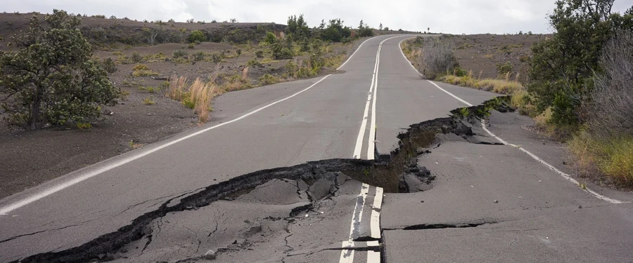
SOCOTEC’s Geographic Information Systems (GIS) Services provide advanced spatial data analysis, mapping, and visualization to support geotechnical, environmental, and infrastructure projects. Our GIS solutions enhance decision-making by integrating complex datasets into interactive, easy-to-use formats for planning, analysis, and asset management.
Technology and Compliance
SOCOTEC’s GIS professionals utilize ESRI ArcGIS Pro, AutoCAD Civil 3D, and other advanced geospatial tools to ensure accuracy and compliance with regulatory standards. We specialize in integrating GIS with geotechnical, environmental, and construction datasets to provide actionable insights.
With a commitment to precision and innovation, SOCOTEC’s GIS Services support better decision-making and project efficiency across multiple industries.

Talk to our experts


Comprehensive GIS Capabilities
Our GIS team leverages industry-leading technology to deliver accurate, high-resolution geospatial data and mapping solutions, including:

Want to learn how our GIS expertise can enhance your project outcomes?