
Surveying
SOCOTEC provides precision surveying that keeps your project on schedule, on budget, and built exactly to plan across the United States.
What is Surveying?
Surveying is the process of measuring, mapping, and verifying land, structures, and infrastructure to support the design and execution of civil engineering and construction projects. It provides the precise spatial data needed to complete civil design work and to translate design plans into real-world construction activities.
A construction survey establishes reference points, boundaries, elevations, and coordinates on a construction site so that contractors can accurately position structures, utilities, roadways, and other assets.

Talk to our experts

Our Surveying Services
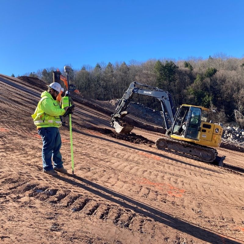
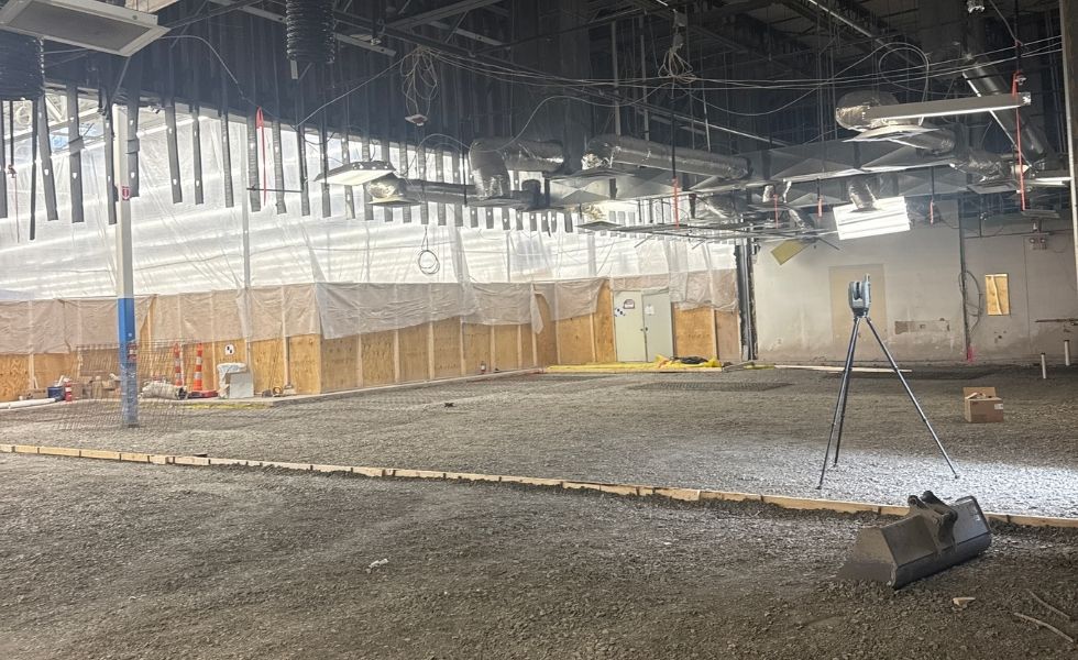
SOCOTEC delivers a full range of surveying services tailored to the needs of engineers, contractors, and developers. Our teams use advanced survey equipment, including Trimble R10, R12I and R780 GPS units, robotic total stations, digital levels, and drone surveying platforms.
Pre-Construction & Site Surveys
We help analyze site conditions, property boundaries, and environmental factors before design or construction begins.
Boundary Survey: defining legal property lines and limits of work
ALTA/ACSM Title Survey
Courthouse Research and Property Mosaic
Environmental and Hazardous Waste Survey
FEMA Flood Elevation Survey
Hydrology Survey
Preparation of Base Plan
Topographic Survey: mapping terrain elevations and features to inform design
Utility Location Survey
Wetland and Stream Survey
Construction Layout & Stake-Out Services
Our team guides contractors throughout the construction process, ensuring every feature and structure is built according to the design plans. We mark the precise locations of buildings, roads, and utilities on-site, providing clear guidance to keep construction accurate and on track.
Construction Survey for Building Industry
Construction Stake-Out
Engineering Survey for Civil Design Project
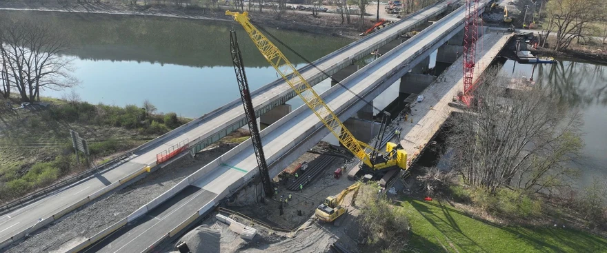
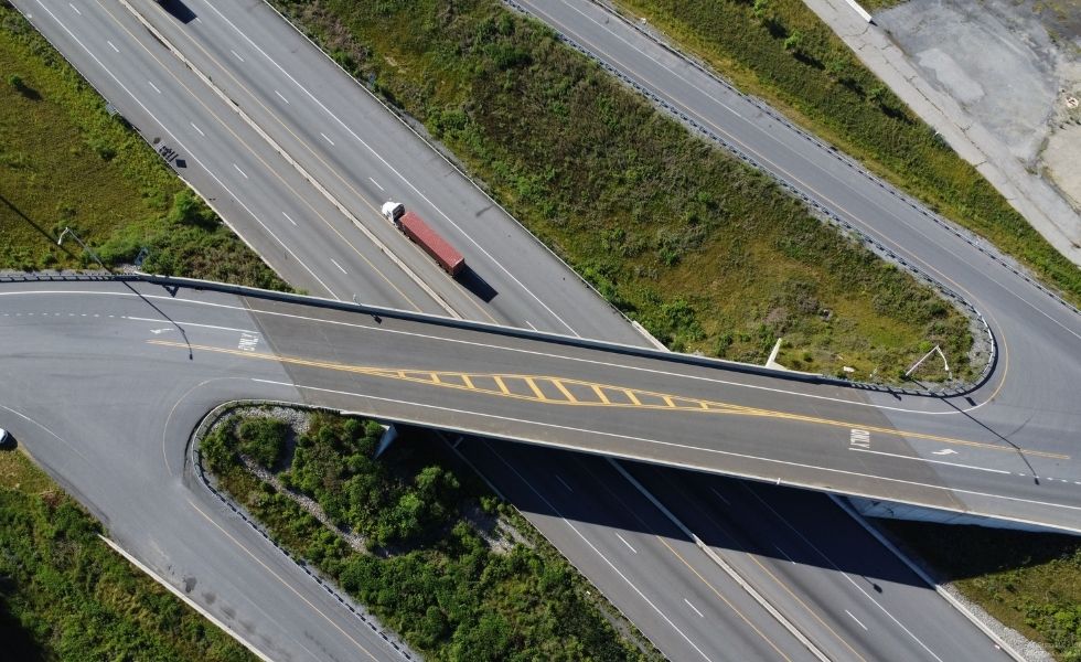
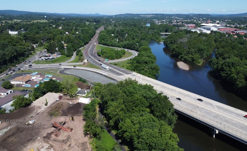
Infrastructure & Transportation Surveys
We offer specialized surveys supporting large-scale infrastructure and civil engineering projects.
Bridge and Highway Survey
Railroad and Mass Transit Specialized Survey
Right-of-Way Research and Plan Development
Route and Topographic Survey
Control & Geodetic Surveys
SOCOTEC establishes precise coordinate systems and reference points for construction projects.
Conventional and GPS Surveying
Geodetic Control Survey
Horizontal and Vertical Control Survey
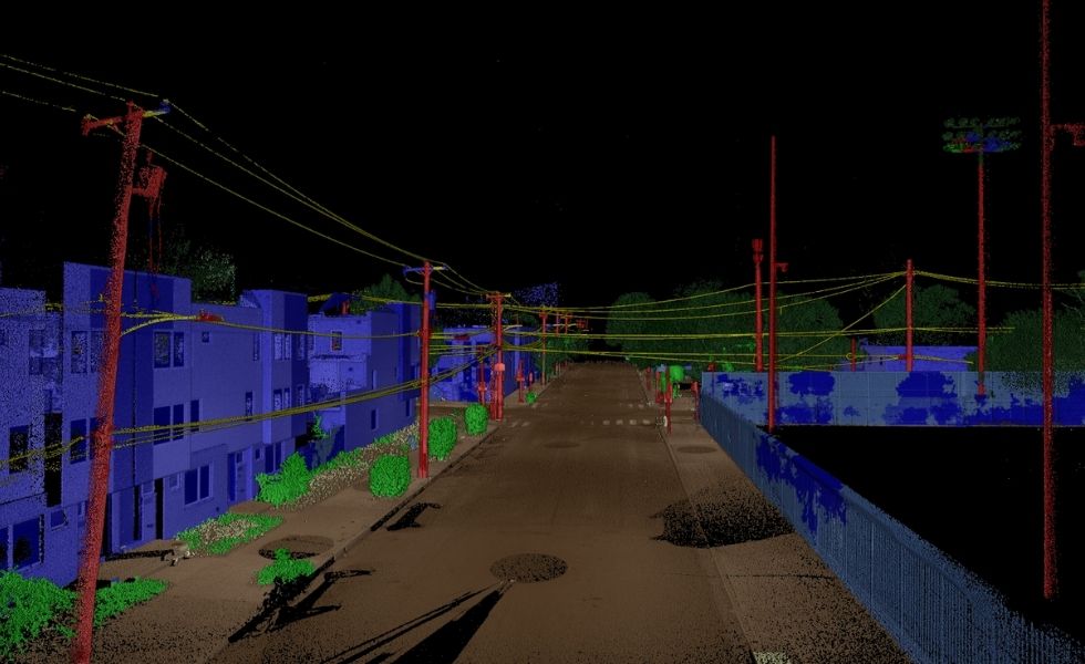
Survey Mapping, Modeling & Data Services
We use advanced surveying instruments and technologies to capture high-precision spatial data and improve efficiency on complex construction sites. Our team processes this information to deliver accurate digital models, maps, and plans that support civil engineers, designers, and construction teams throughout the project lifecycle.
- 3D Scanning
- Drone Survey
- GIS and CADD Services
- Photogrammetric Survey
- Terrain Modeling
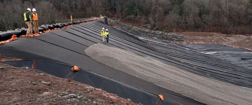
Post-Construction Services
Our team conducts surveys after construction to verify final conditions and document completed work.
- As-Built and Existing Condition Survey: verifying that what was built matches the design plans
- Post-construction survey: final documentation for record-keeping, permitting, and handover
- Expert Testimony
Quality Land Surveillance on Every Size and Type of Project
Industries We Serve
SOCOTEC supports surveying services across the United States for a diverse range of industries, including:
- Transportation and transit: Highways, interstates, and roadway corridors, bridges and culverts, multi-modal transit hubs, railroads and mass transit systems including projects for PennDOT, the Pennsylvania Turnpike Commission, AMTRAK, Norfolk Southern Railways, and SEPTA.
- Accessibility and civil infrastructure: ADA ramps and accessibility improvements, public facilities and recreational trails and infrastructure.
- Energy and utilities: solar farm surveying, utility corridor surveys.
- Environmental and water resources: Stormwater management structures, wetlands and stream restoration, hydrology and drainage surveys, dam and impoundments infrastructure projects.
- Waste management and industrial sites: Landfills surveying, storage tank sites, hazardous waste and remediation sites.
- Maritime and port facilities: port infrastructure, maritime construction projects.
- Government and public works: state, local, and federal construction projects.


Why Choose SOCOTEC for Survey Works?

Ready to Get Your Property Survey Started?
Tell us about your project — our surveyors are ready to help.
FAQ - Land Surveying

